Chiang Mai's Urban Ecologies
Field Research and Urban Drawings
David Maria d’Olimpio, Brian McGrath, Tommy Yang
Chiang Mai, Thailand, 2023
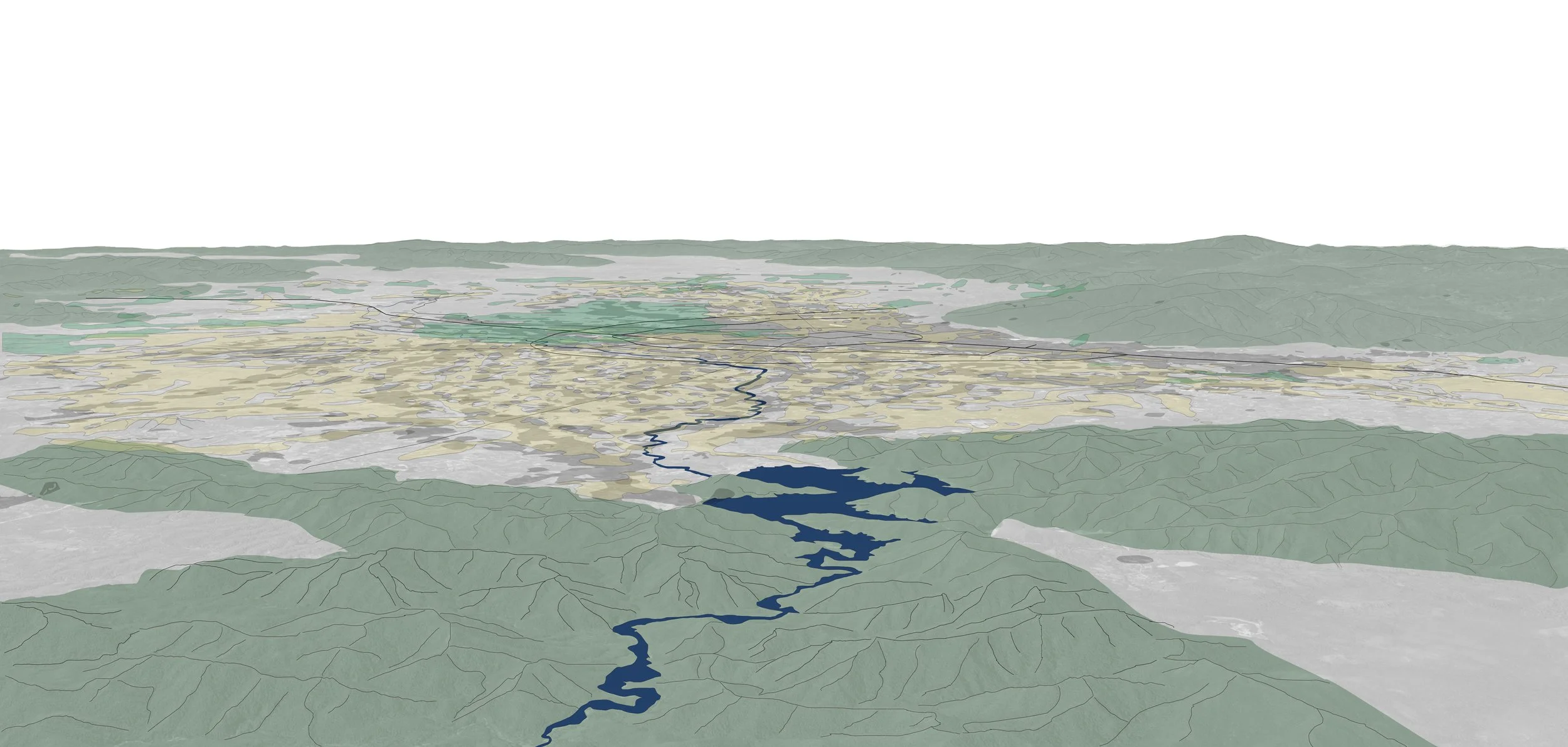
Chiang Mai is a thriving megalopolis, connecting future suburban developments to its bustling urban center and flourishing nature preserves.
Chiang Mai is a complex network of agricultural irrigation, informal connections, and village dynamics, feeding generations of rice farmers for millennia.
Chiang Mai is a part of the complex ecology of Lamphun Valley. Each aspect of this ecology must be studied, respected, and carefully considered as it continues to develop and grow.
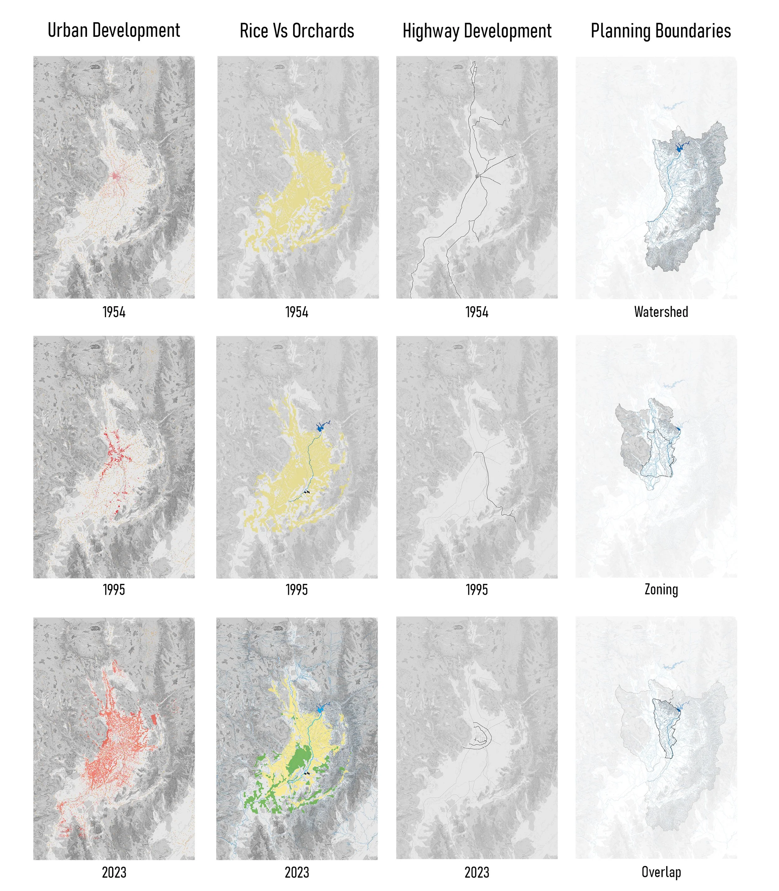
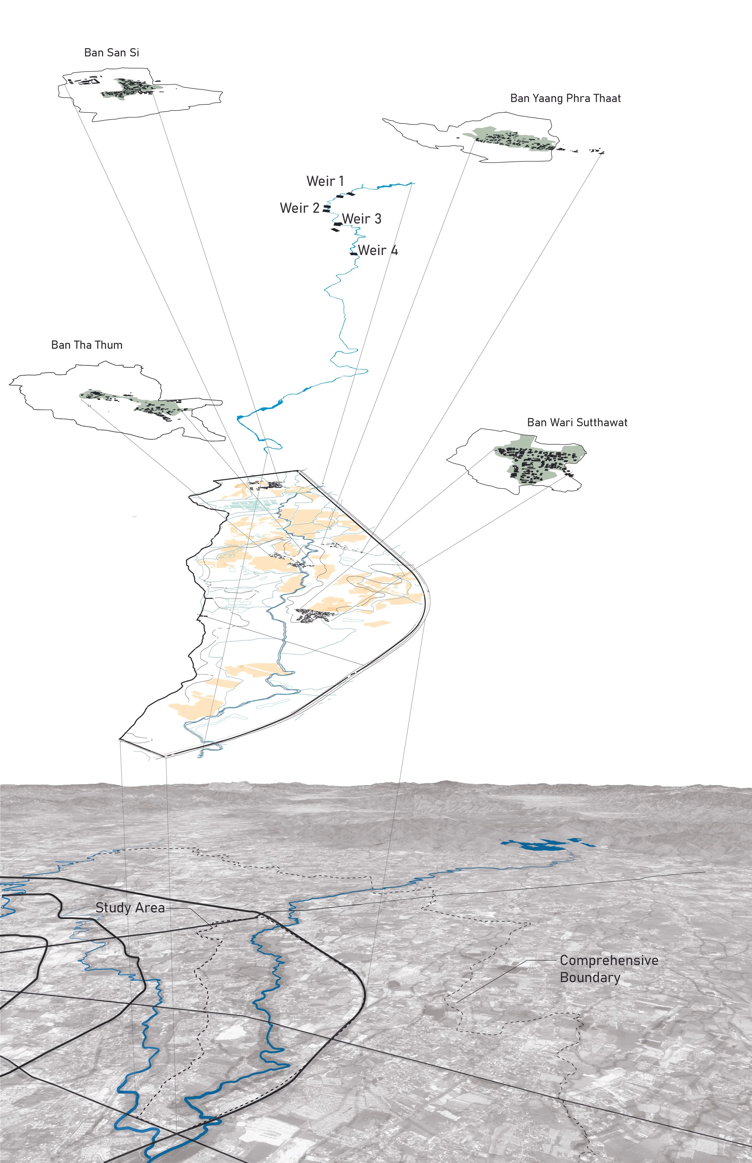
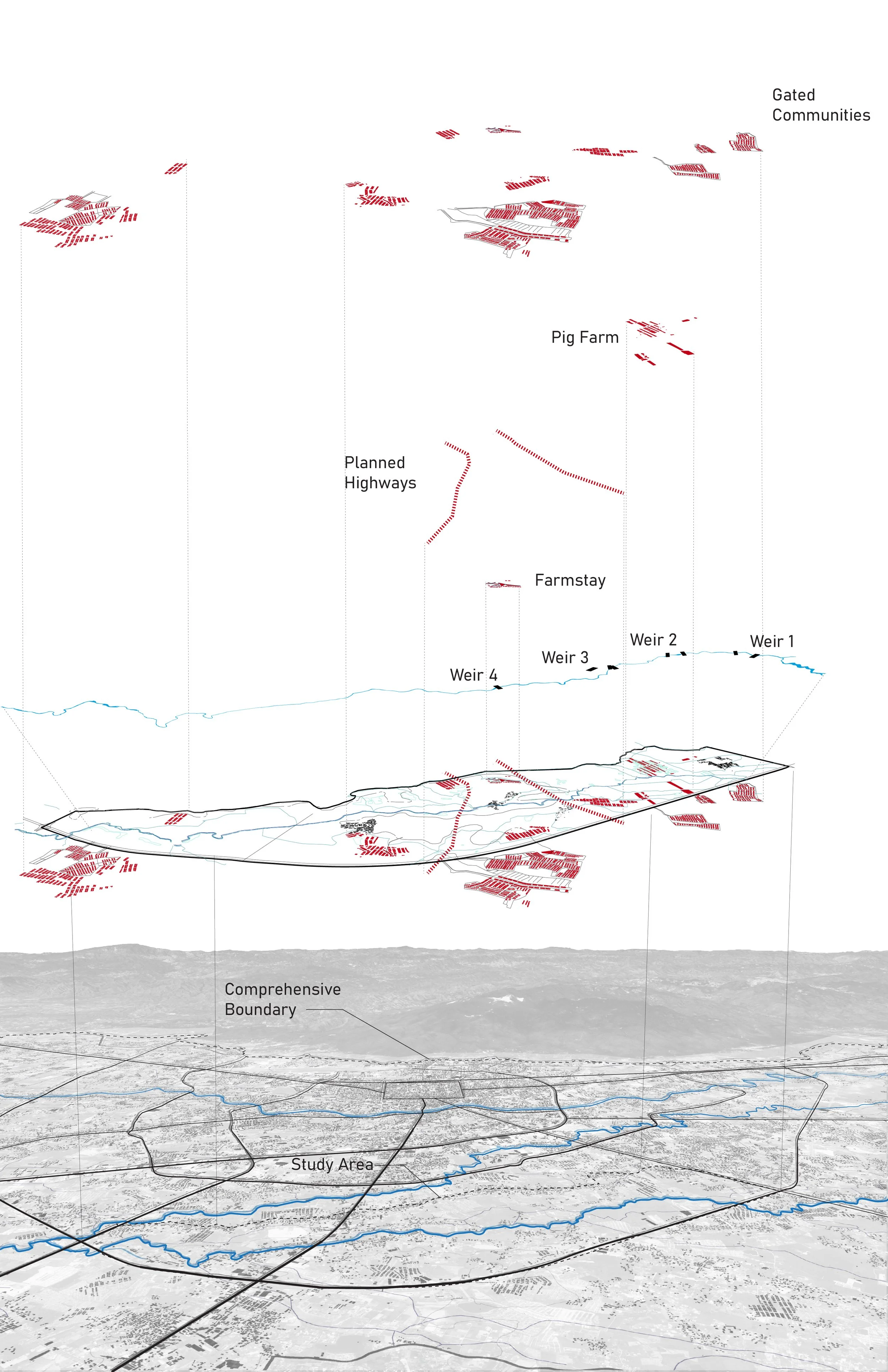
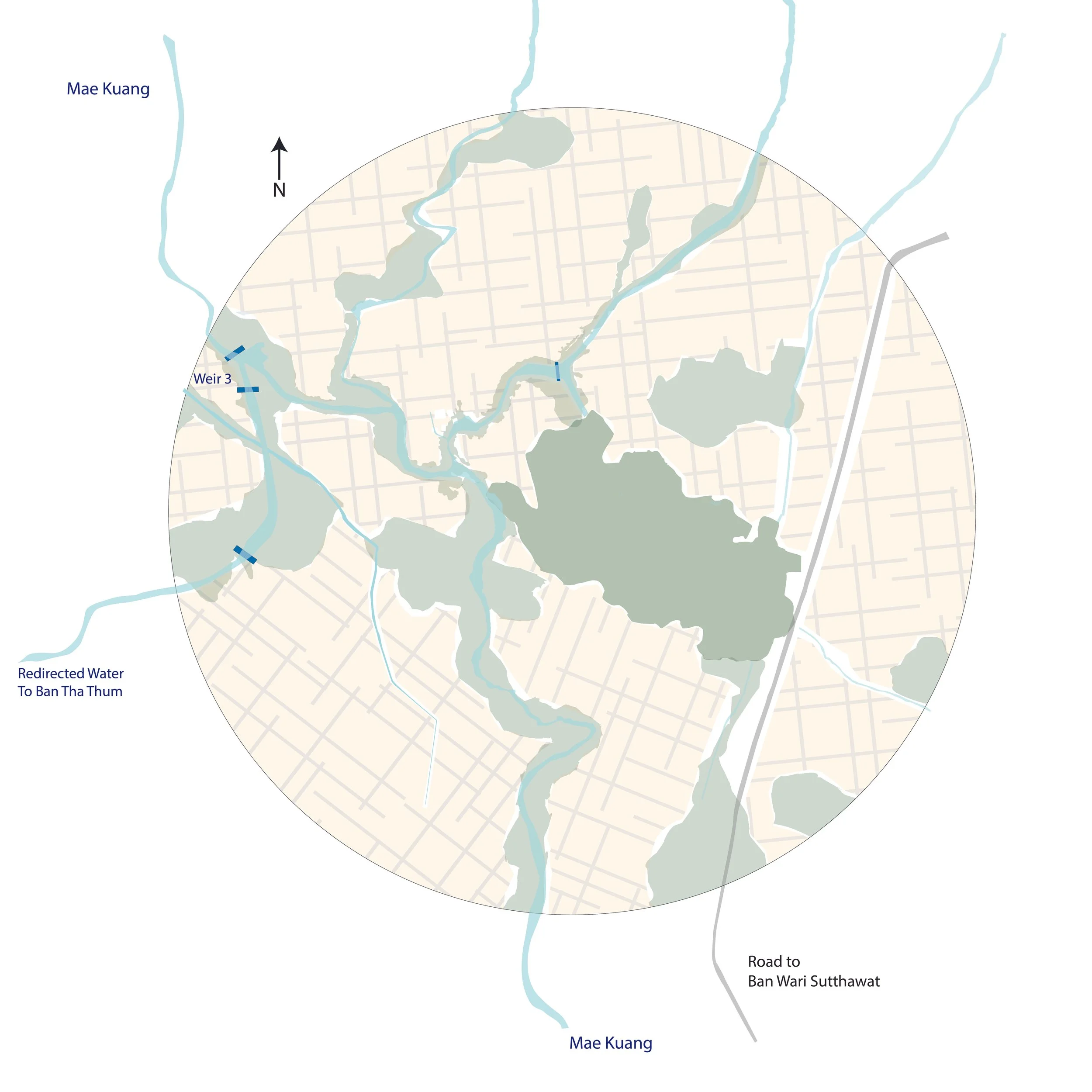
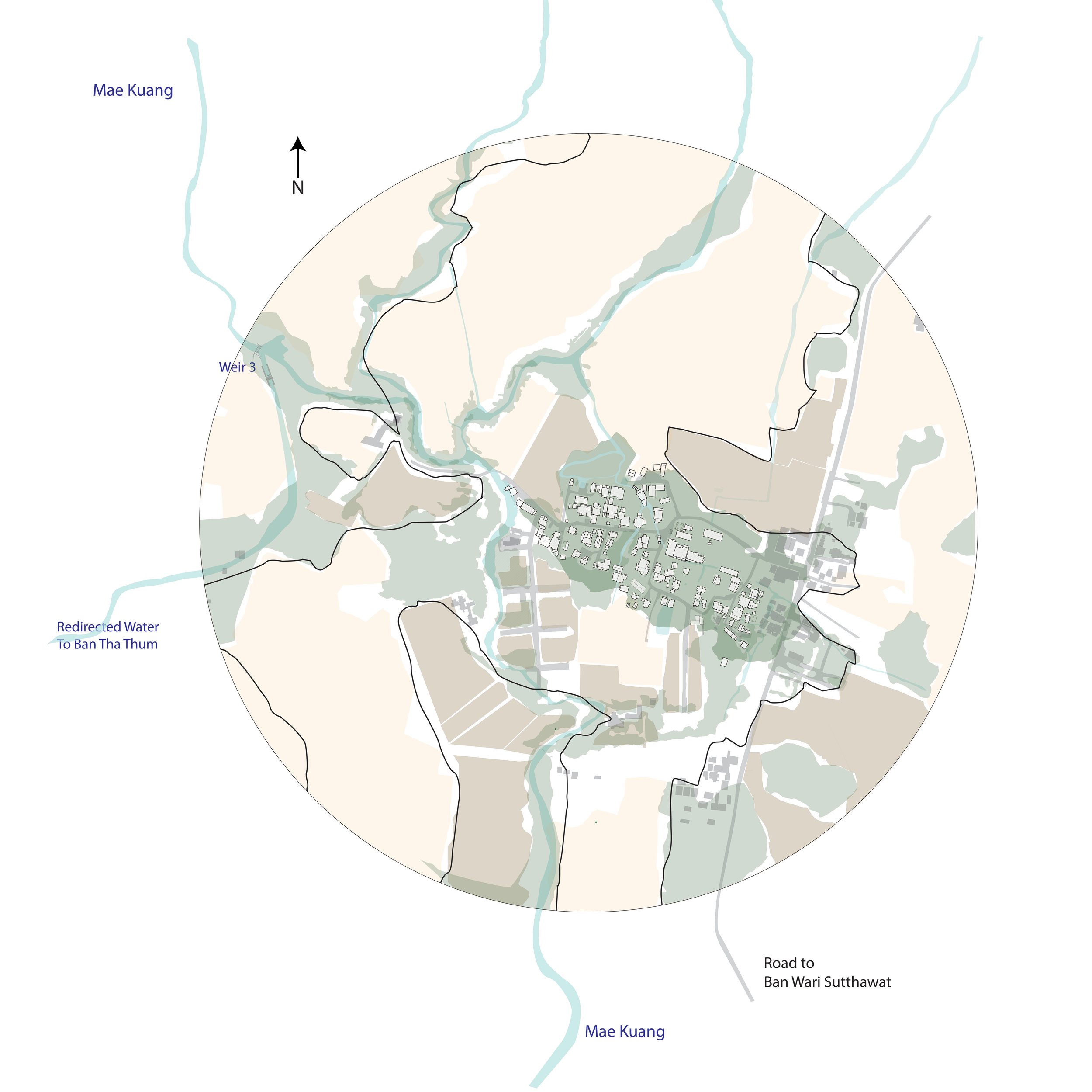
This research and series of drawings, developed alongside Brian McGrath, documents the rapid urbanization of Chiang Mai and its impact on the agricultural villages surrounding it. The work focuses on identifying and tracing the complex local water management network (known as “Muang-Fai”) and the surrounding suburban developments through satellite imagery, historical analysis, and in-person field work.
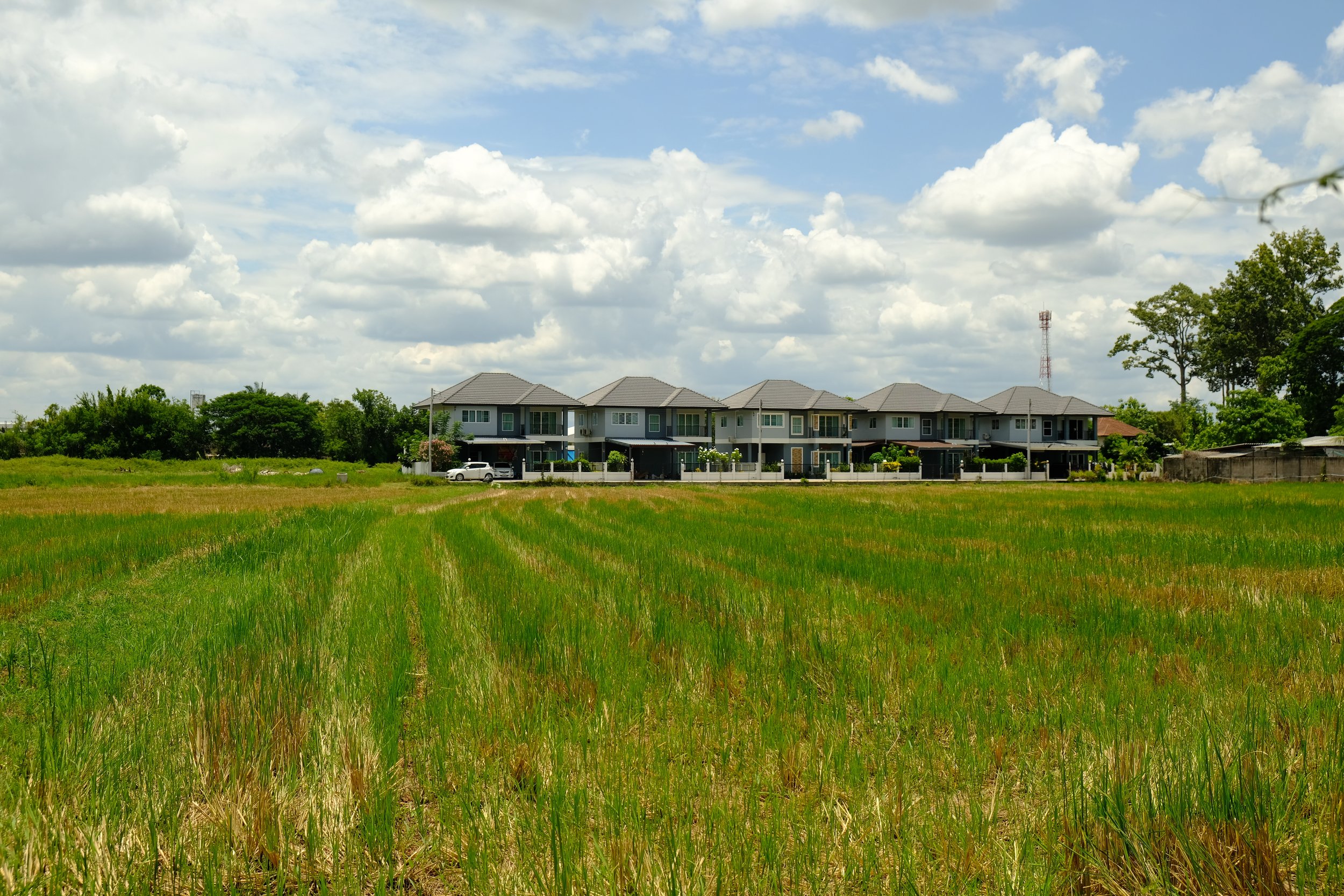
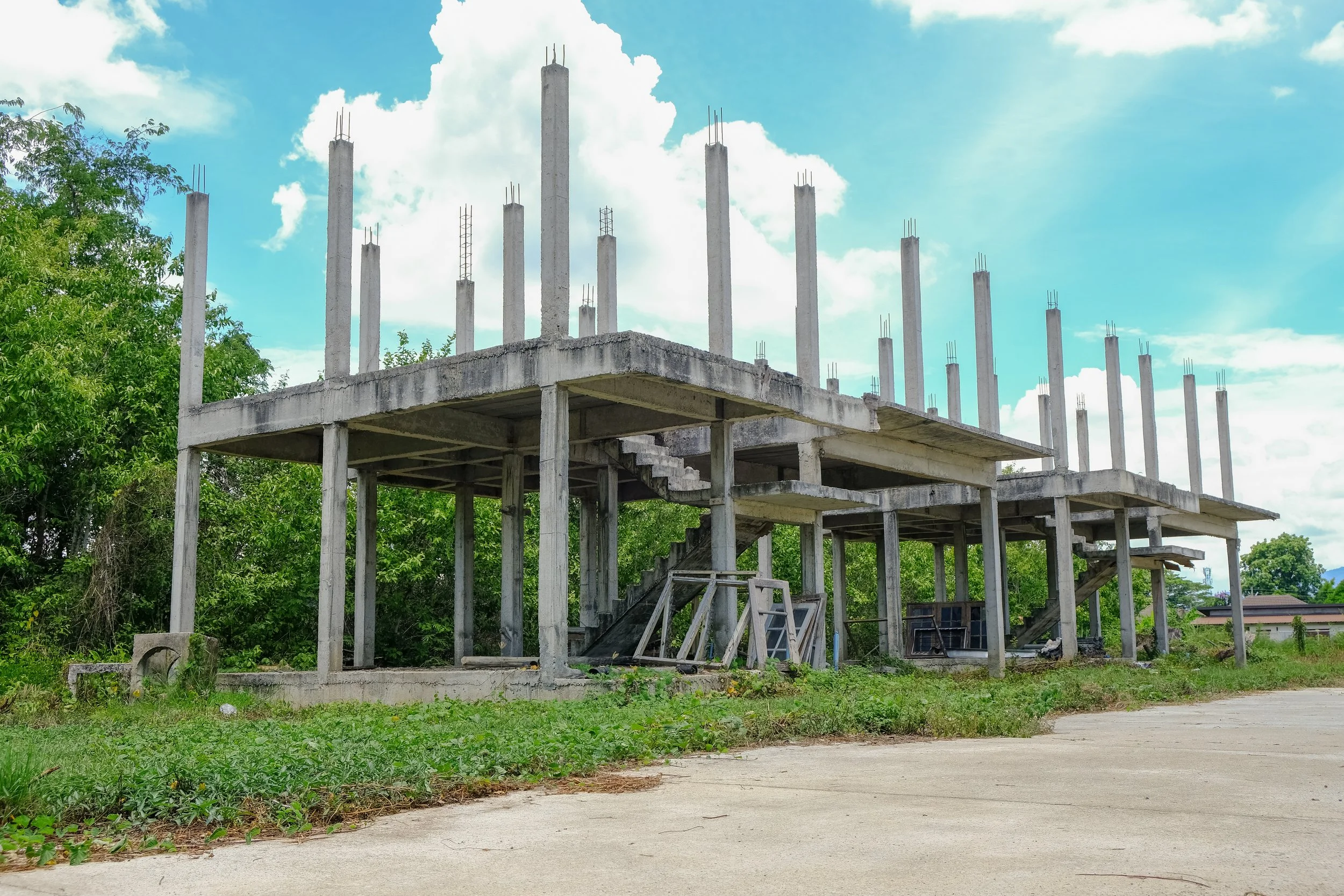
Urban Scale drawing depicts four villages within the study area from the perspective of local agricultural practice and city-led development strategies. Photos reveal the results of contrasting understandings of this contested space: new construction encroaching on rice fields and abandoned construction sites
1954
1975
Failure to acknowledge the needs of these local agricultural communities has led to rapid urbanization of the land surrounding their villages, drastically changing landcover and land use over the last 75 years.
2025
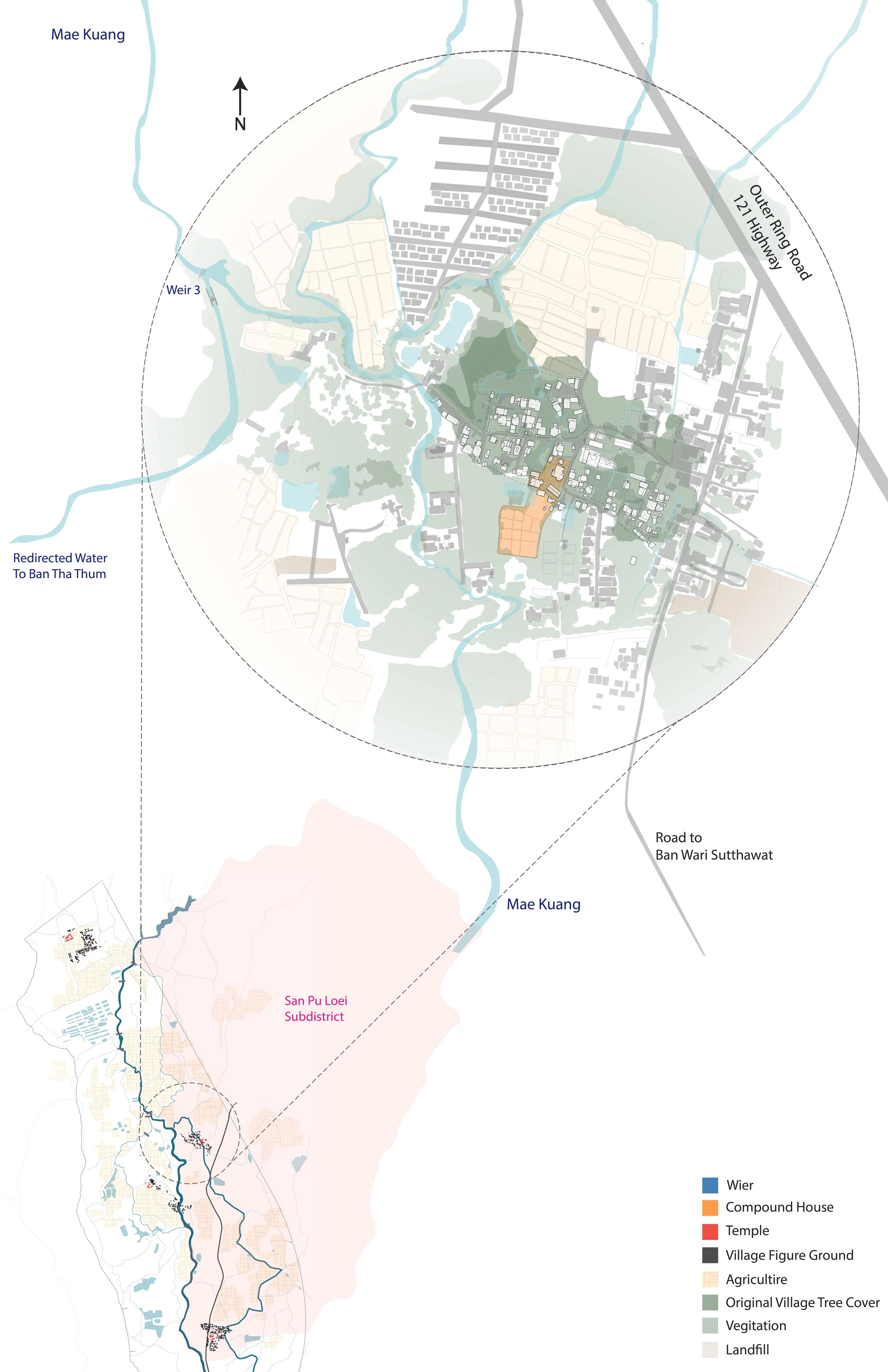
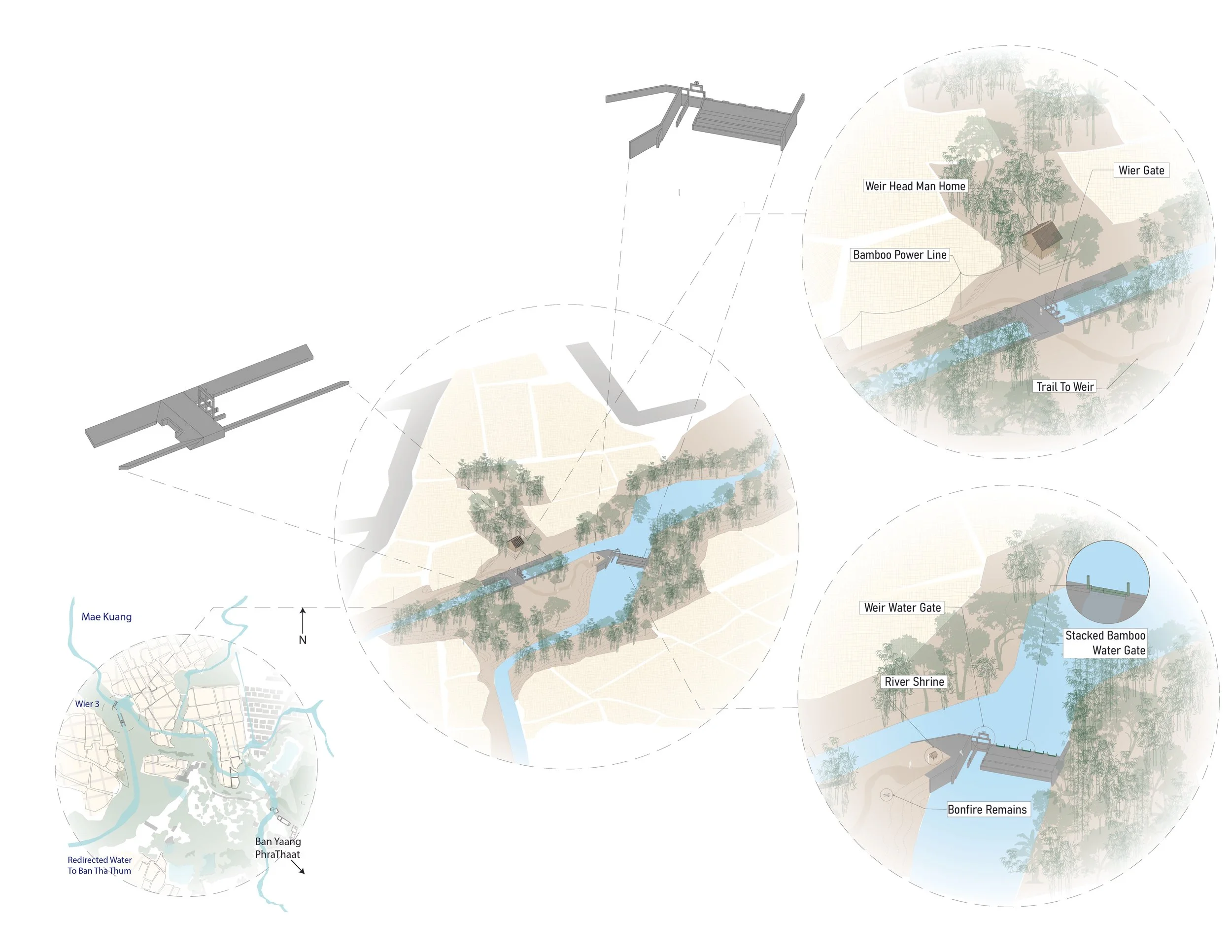
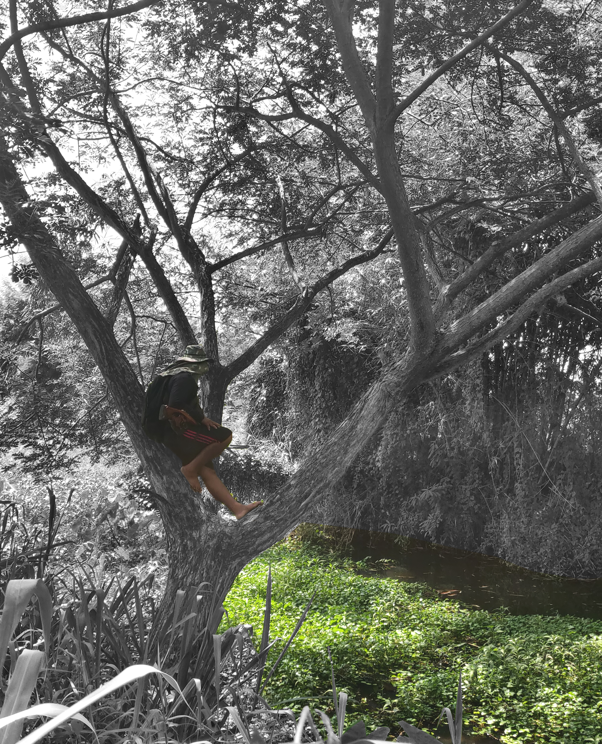
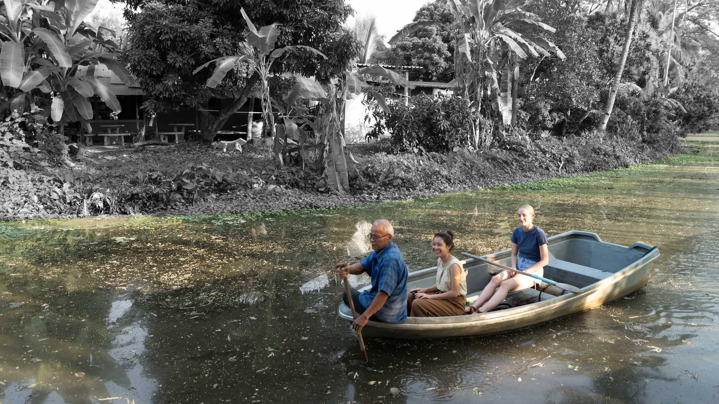
Field research reveals the multi-functionality of village water management infrastructure - operating as irrigation, fishing spots, cooling centers, and spiritual spaces.